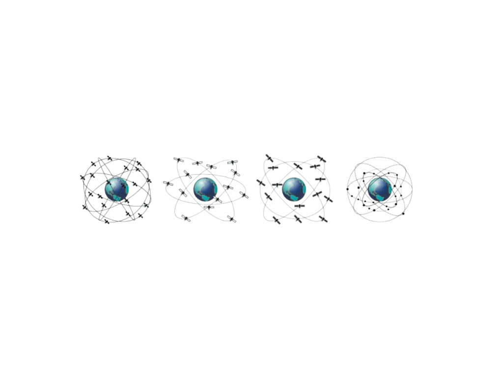
GNSS signals are radio transmissions sent by satellites to provide positioning, navigation, and timing information to receivers on Earth. Each GNSS constellation—such as GPS, Galileo, GLONASS, or BeiDou—broadcasts signals using specific frequencies and modulation techniques.
First, GNSS signals carry three main components: the carrier wave, the pseudorandom noise (PRN) code, and the navigation message. The carrier wave transmits the signal through space. The PRN code allows the receiver to identify the satellite and measure the signal’s travel time. The navigation message provides satellite orbit data, clock corrections, and system status.
Next, GNSS receivers use the time delay between signal transmission and reception to calculate distance. By receiving signals from at least four satellites, the receiver determines its 3D position and time. This process relies on extremely accurate timing and consistent signal quality.
GNSS systems transmit multiple signal types for different users and performance levels. For example, GPS transmits L1 C/A for civilian use and L1 P(Y) for military. Modernized signals like GPS L2C and L5 improve accuracy and robustness.
Moreover, Galileo transmits open-service signals such as E1 and E5, supporting high-accuracy applications. It also provides encrypted services for authorized users. GLONASS and BeiDou offer similar multi-signal structures for diverse user needs.
Dual-frequency signals help correct ionospheric delays, one of the major GNSS error sources. They also improve resistance to multipath effects and signal interference. Multi-frequency support is essential in surveying, aviation, and autonomous systems.
Signal strength, modulation type, and code structure influence acquisition time and tracking accuracy. Receivers must adapt to signal variations and interference to maintain performance.
In conclusion, GNSS signals form the foundation of satellite-based positioning systems. They deliver precise timing and location data, supporting critical applications in transportation, mapping, agriculture, and beyond.
Do you have questions?
What are the GNSS frequencies and signals ?
▶︎ GPS
Signals and Frequencies
L1 C/A → 1575.42 MHz
L1C → 1575.42 MHz
L2 C → 1227.6 MHz
L2 P → 1227.6 MHz
L5 → 1176.45 MHz
▶︎ GLONASS
Signals and Frequencies
L1 C/A → 1598.0625-1609.3125 MHz
L2 C → 1242.9375-1251.6875 MHz
L2 P → 1242.9375-1251.6875 MHz
L3 → OC 1202.025
▶︎ GALILEO
Signals and Frequencies
E1 → 1575.42 MHz
E5a → 1176.45 MHz
E5b → 1207.14 MHz
E5 AltBOC → 1191.795 MHz
E6 → 1278.75 MHz
▶︎ BeiDou
Signals and Frequencies
B1I → 1561.098 MHz
B2I → 1207.14 MHz
B3I → 1268.52 MHz
B1C → 1575.42 MHz
B2a → 1176.45 MHz
B2b → 1207.14 MHz
▶︎ NAVIC
Signals and Frequencies
L5 → 1176.45 MHz
▶︎ SBAS
Signals and Frequencies
L1 → 1575.42 MHz
L5 → 1176.45 MHz
▶︎ QZSS
Signals and Frequencies
L1 C/A → 1575.42 MHz
L1 C → 1575.42 MHz
L1S → 1575.42 MHz
L2C → 1227.6 MHz
L5 → 1176.45 MHz
L6 → 1278.75 MHz
What is GNSS post-processing?
GNSS post-processing, or PPK, is an approach where the raw GNSS data measurements logged on a GNSS receiver are processed after the data acquisition activity. They can be combined with other sources of GNSS measurements to provide the most complete and accurate kinematic trajectory for that GNSS receiver, even in the most challenging environments.
These other sources can be local GNSS base station at or near the data acquisition project, or existing continuously operating reference stations (CORS) typically offered by governmental agencies and/or commercial CORS network providers.
A Post-Processing Kinematic (PPK) software can make use of freely available GNSS satellite orbit and clock information, to help further improve the accuracy. PPK allow for precise determination of a local GNSS base station’s location in an absolute global coordinate reference frame datum, which is used.
PPK software can also support complex transformations between different coordinate reference frames in support of engineering projects.
In other words, it gives access to corrections, enhances the project’s accuracy, and can even repair data losses or errors during the survey or installation after the mission.
Which GNSS antenna works best for RTK, PPP, and PPK?
The best type of GNSS antenna for RTK (Real-Time Kinematic), PPP (Precise Point Positioning), and PPK (Post-Processed Kinematic) depends on your accuracy requirements, environment, and application. However, certain antenna characteristics and types consistently perform better in high-precision GNSS workflows.
| Application | Best Antenna Type | Notes |
|---|---|---|
| RTK (rover/base) | Survey-grade or choke ring | Choke ring for base; survey-grade for rover |
| PPK (UAVs, mobile mapping)
PPP (static or dynamic) |
Survey-grade or helical
Survey-grade or choke ring |
Compact with good PCV handling
Stable phase center is key |
If you’re working with SBG Systems GNSS/INS solutions, use antennas that are officially recommended or tested for compatibility with your system’s GNSS receiver capabilities (e.g., multi-band/multi-constellation) to ensure optimal results in RTK, PPP, and PPK workflows.