Discover Navsight Series
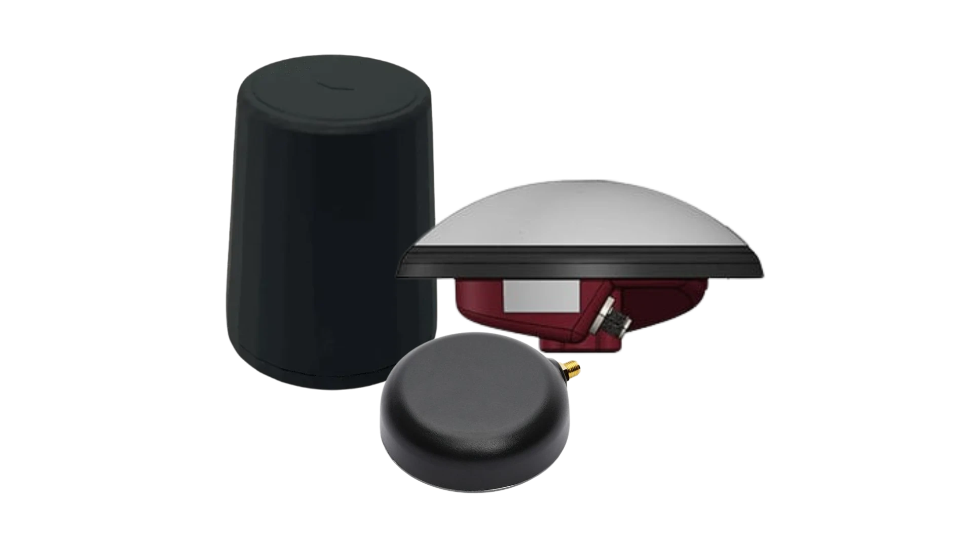
Navsight is a comprehensive inertial navigation solution, specifically designed for the survey markets. Leveraging on existing inertial sensors, advanced algorithms and high performance GNSS technology, it also adds an incredible easy to use setup. It has been designed for optimal integration with Qinertia post-processing suite, as well as popular survey software like Qinsy, Hypack, PDS and others. You will receive an IMU, a processing unit, 2x GNSS antennas together with the cables needed for powering the system, connecting the different accessories, and communicate with the unit.
This solution is divided by type of environment, which encompasses sea, land and air.
Navsight product range
Our product range offers a comprehensive suite of Motion and Navigation Solutions designed to make surveyors’ mobile data collection easier and designed to ease Hydrographer’s tasks. This line of products was thoughtfully designed to meet diverse application needs, featuring distinct options.
Discover everything you need to know about all Navsight versions.
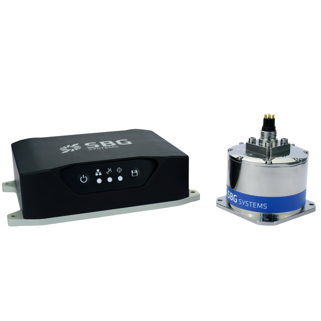
Navsight Marine
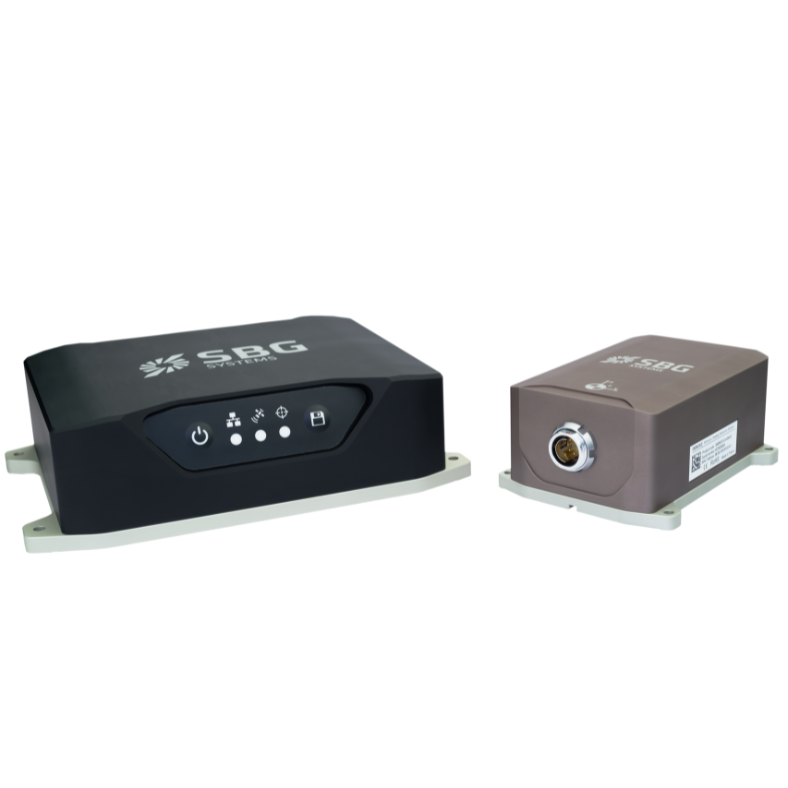
Navsight Land-Air
Additional Products & Accessories
Discover how our solutions can transform your operations by exploring our diverse range of applications. With our Motion and Navigation sensors and software, you gain access to state-of-the-art technologies that drive success and innovation in your field.
Join us in unlocking the potential of inertial navigation and positioning solutions across various industries.
Qinertia GNSS-INS
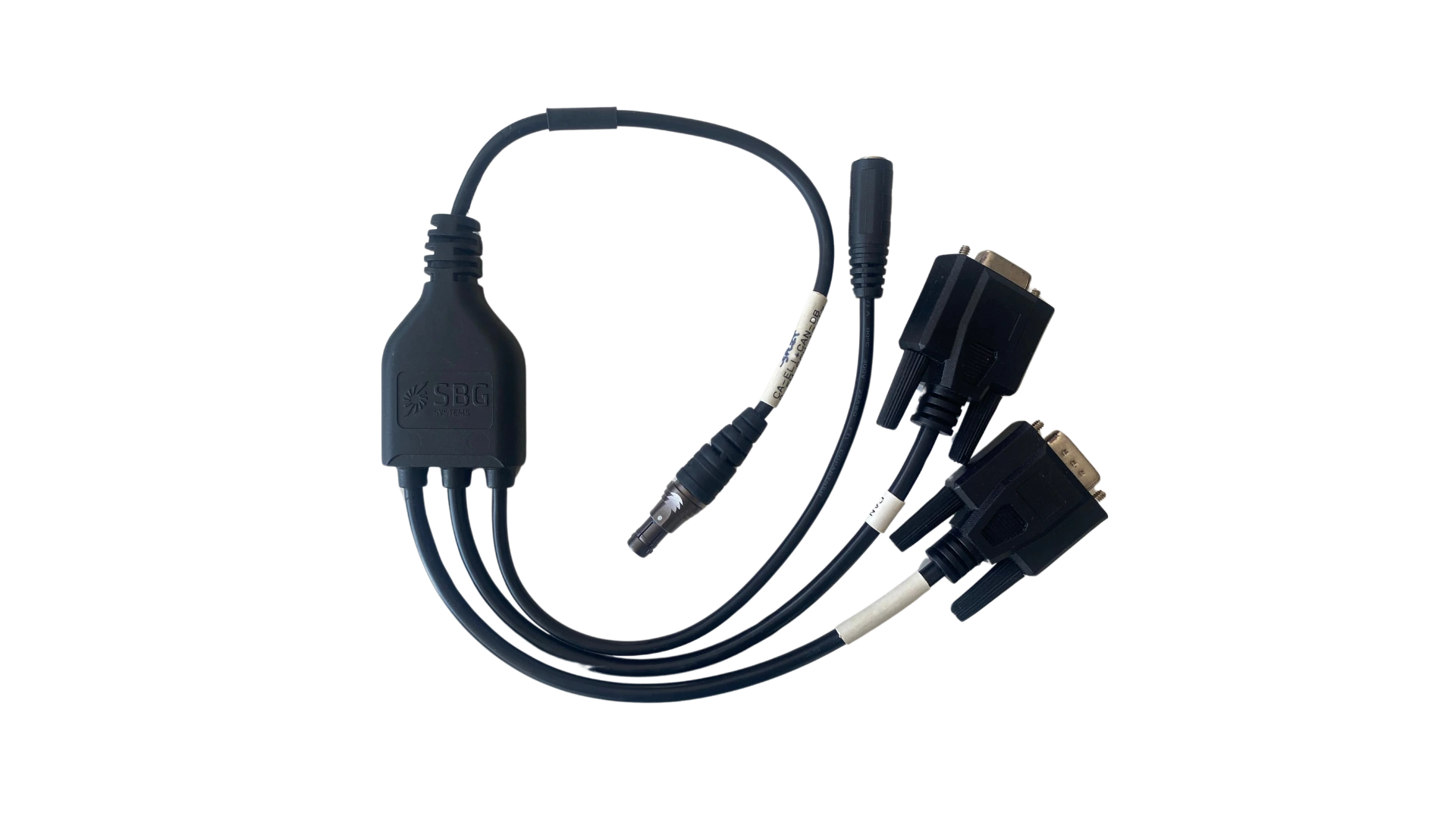
Cables